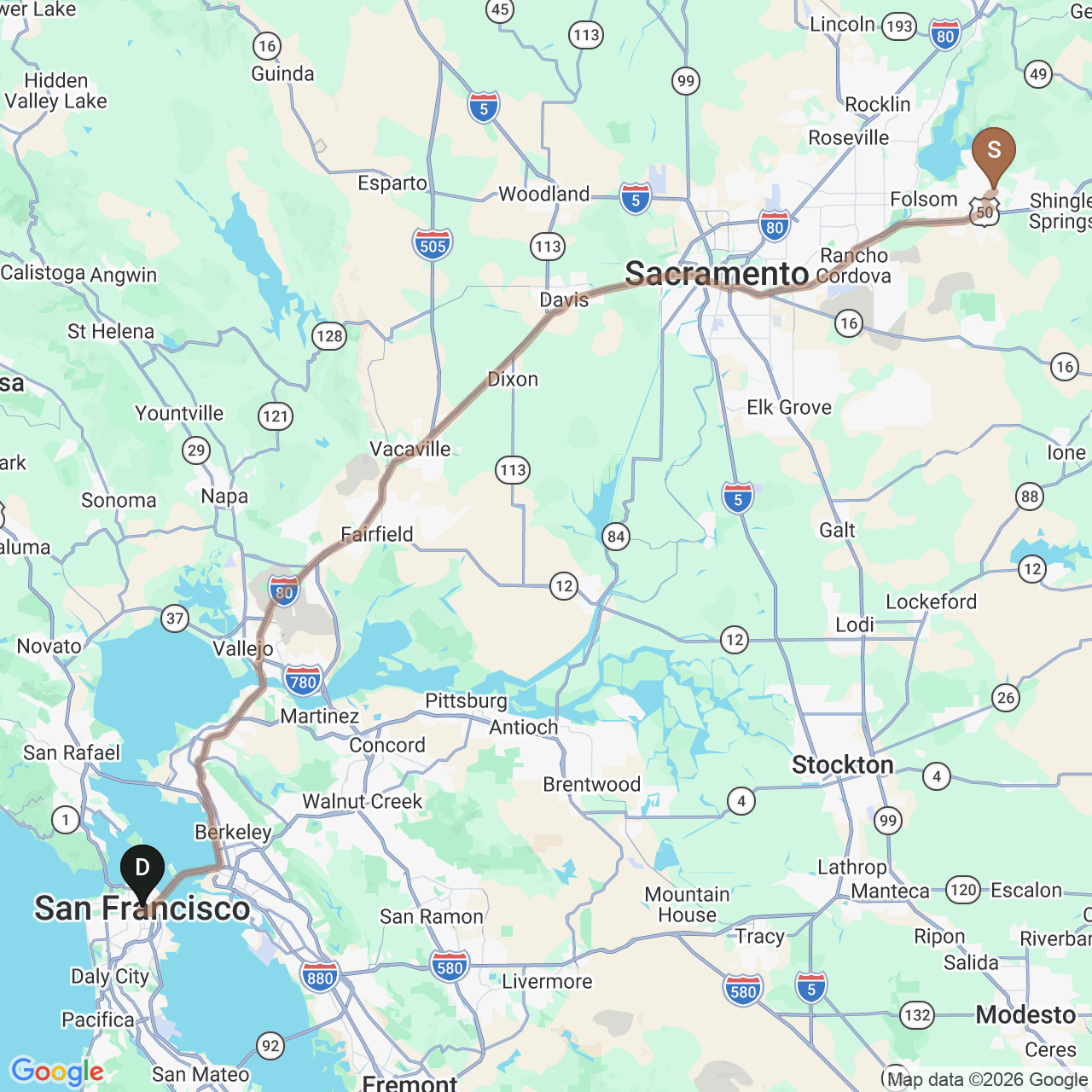
Westbound
115 miles by roadSan Francisco
Serrano Country Club → San Francisco
A distinctly urban counterpoint: waterfront walks, the Golden Gate and Presidio, cable cars, museums, parks and neighborhoods from North Beach to the Mission.
Lifestyle · Regional
Road-map context
The maps are a visual orientation. Exact routes, conditions and travel times vary by departure point, traffic, weather and season.
Westbound
115 miles by roadSerrano Country Club → San Francisco
A distinctly urban counterpoint: waterfront walks, the Golden Gate and Presidio, cable cars, museums, parks and neighborhoods from North Beach to the Mission.
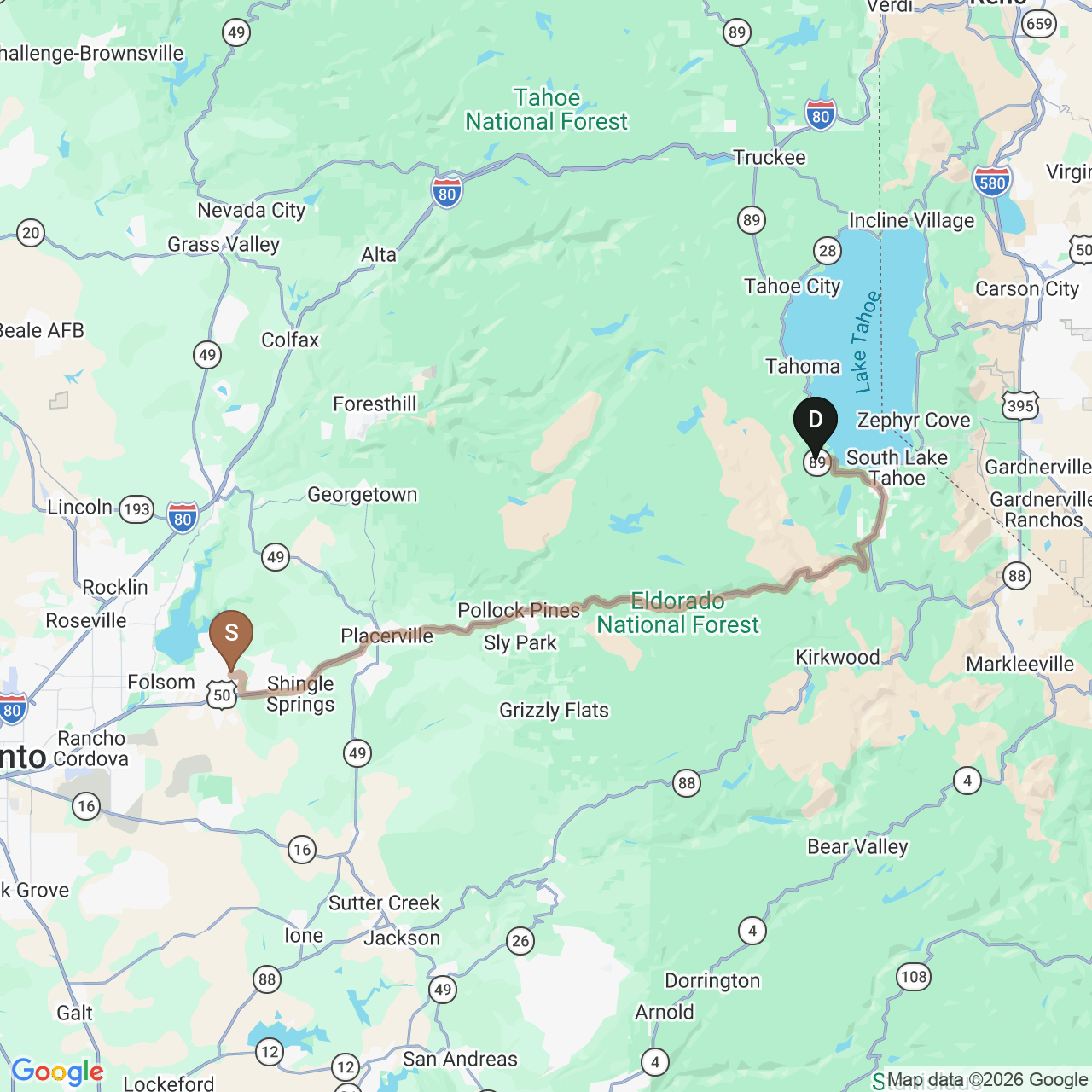
Eastbound
81 miles by roadSerrano Country Club → Emerald Bay State Park
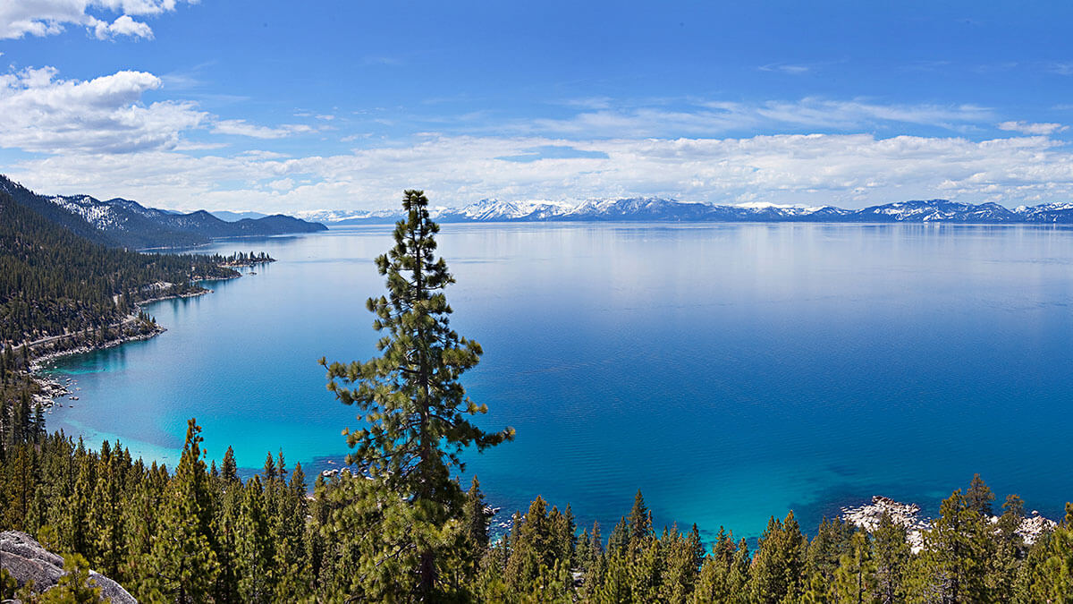
Blue-water days and Sierra scenery are paired with beaches, hiking, paddling, ski areas, state parks and a deeper historic layer at Vikingsholm and Fannette Island.
Lake Tahoe, season by season
Official Lake Tahoe and California State Parks sources point to beaches, paddling and Emerald Bay in warmer months, then skiing, snow activities, historic sites and mountain trails as seasons turn.
Summer
Beaches, swimming, kayaking, paddleboarding and the Emerald Bay landscape.
Fall
Cooler trail days, mountain biking, golf and a quieter shoreline rhythm.
Winter
Skiing and snowboarding, plus snowshoeing, sleigh rides and winter village energy.
Any season
Vikingsholm, Fannette Island, the Rubicon Trail and the state-park network.
Check official road, weather, snow, water, parking and park advisories before heading east.
Check Emerald Bay information